2019/09–2021/09 / Urban Perspectives
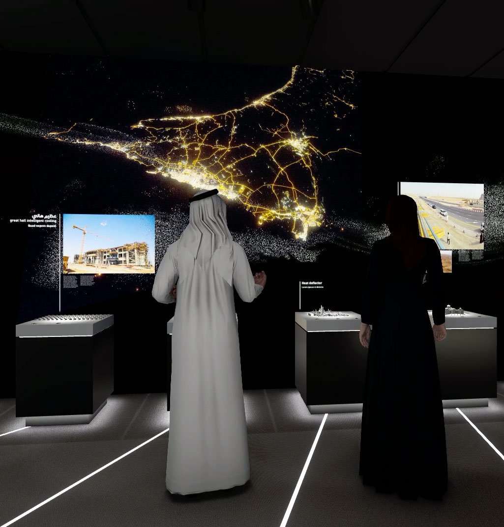
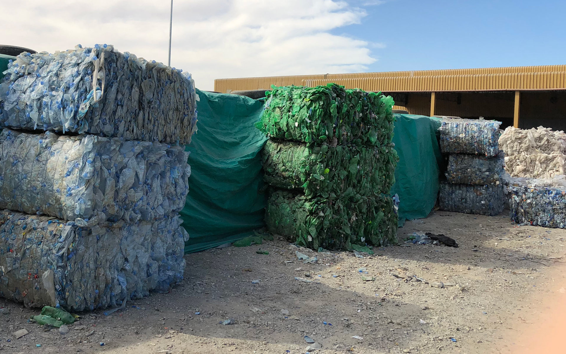
To understand the current era of urbanisation and better manage the use of natural resources, it is necessary to understand the historical trends that shaped cities into their current form 1. Documenting modern heritage not only helps to preserve such knowledge for future generations, but it sheds light on how future changes might play out. To this end, the project team aims to transform urban landscapes into information landscapes using digital models to create an environment to simulate various scenarios regarding urban life 2).
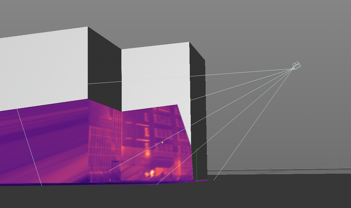
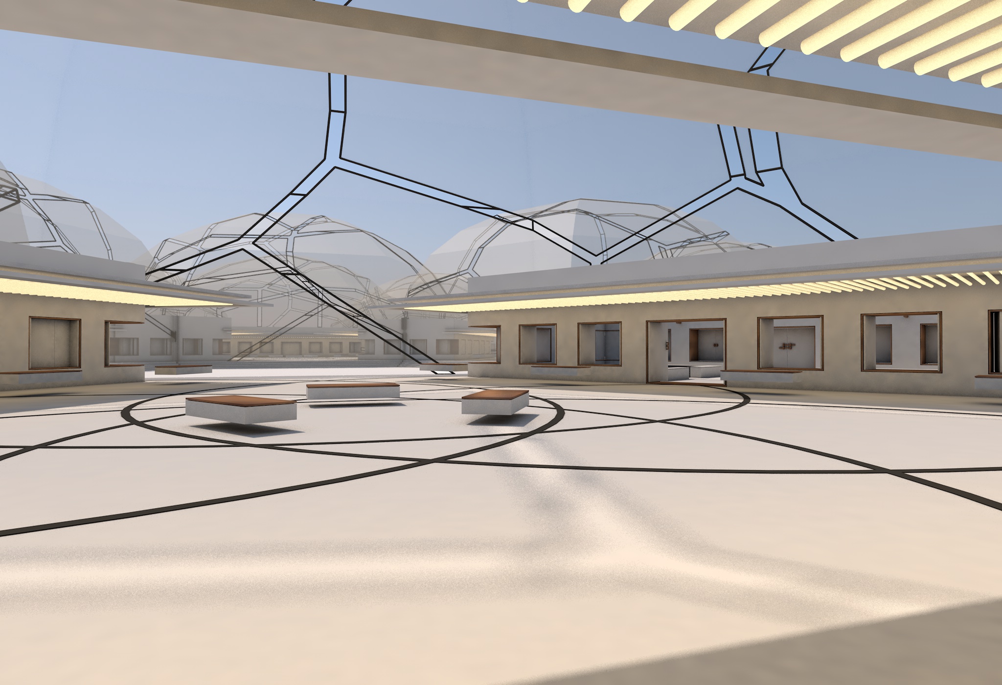
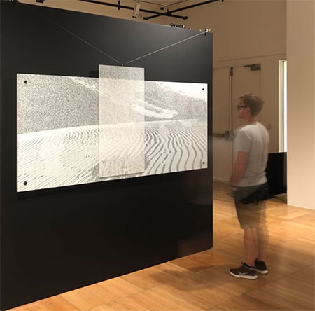
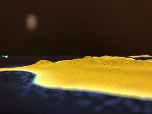
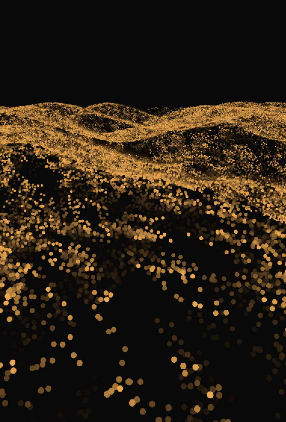
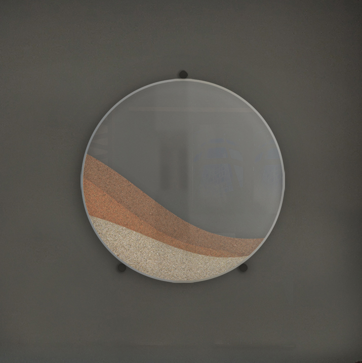
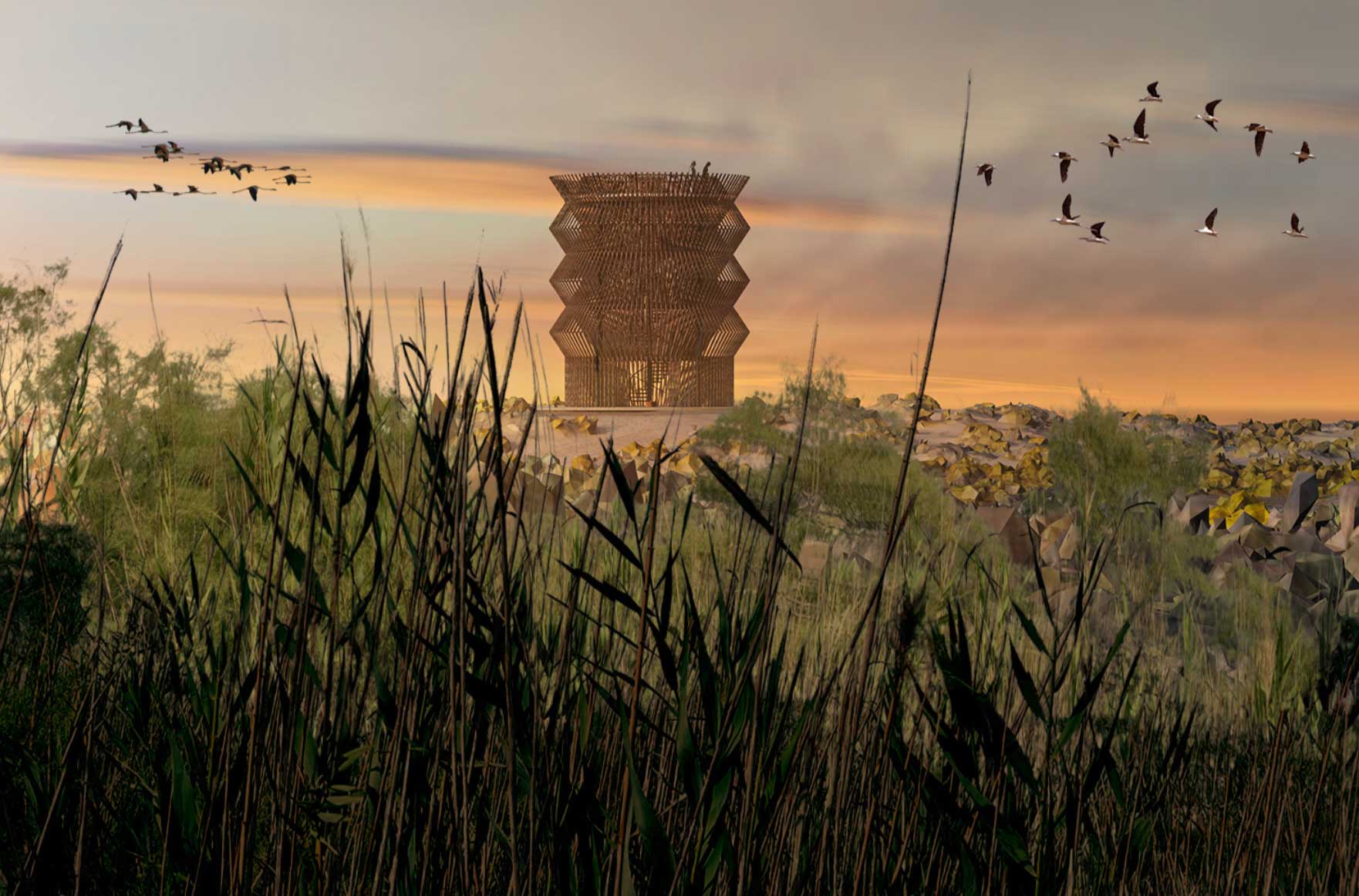
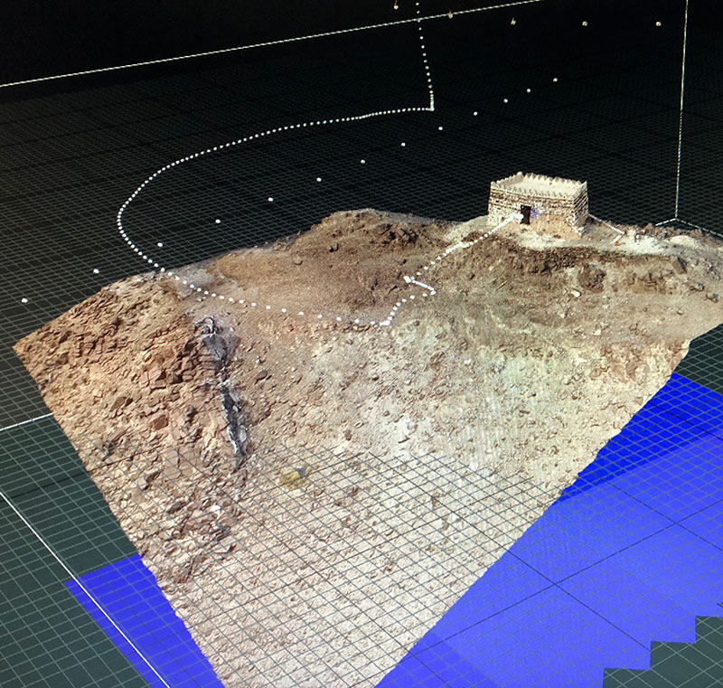
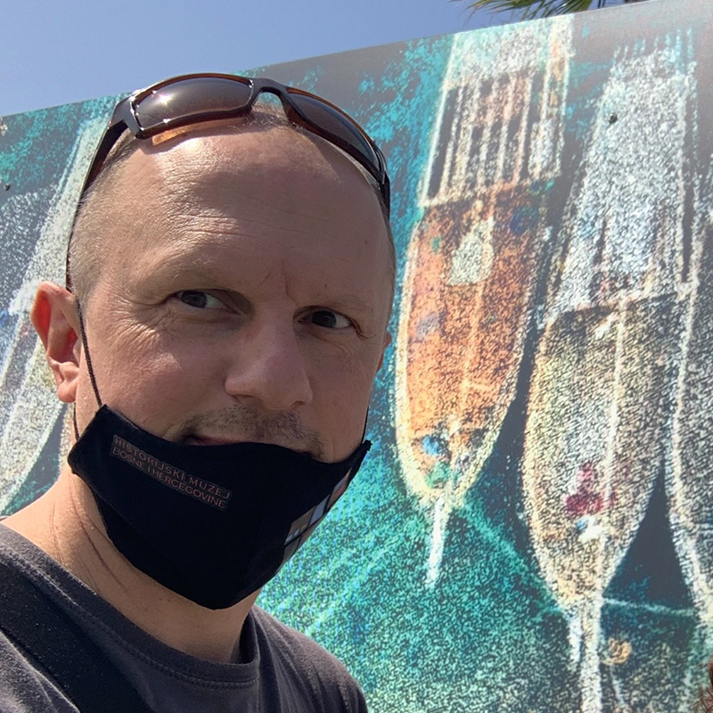
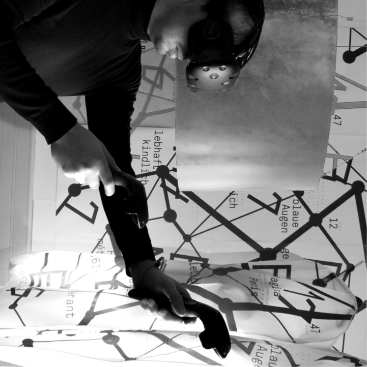
Urban Perspectives | Documenting Urban Change is a a two year long research project funded through NYUAD's Center for InteractIng Urban Networks (CITIES Center). Early project steps contain the set-up of hard- and software that enable the research team to test new technological solutions to 3D-scan city landscapes using drones (photogrammetry3, etc.) and other available scanning devices or resources, with the goal to embed sample cases into various ongoing projects at a later project stage. By recording 3D data from the ever changing cities in the UAE, and by translating such data into augmented reality, virtual reality, and new media applications, the team plays an active role in documenting the drastic change of cities in recent history, and secures this knowledge for future generations.
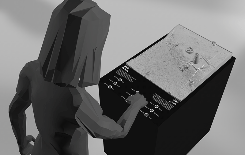
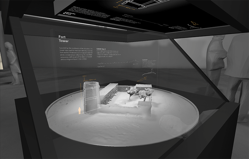
In summary: - Digital tools to document modern heritage and simulate multiple scenarios for the future. - Physical models augmented with a city’s social, functional, and operational characteristics. - Flexible digital setup to visualize a number of urban characteristics spanning the social, economic, and architectural realms.
The team collaborates with researchers from American University of Sharjah (College of Architecture and Design, Prof. Zlatan Filipovic) and Zayed University Dubai (College of Arts and Creative Enterprises, Prof Adina Hempel).
-
Reba, M., Reitsma, F., & Seto, K. C. (2016). Spatializing 6,000 years of global urbanization from 3700 BC to AD 2000. Scientific data, 3, 160034 ↩
-
Lin, H. T., & Chiu, M. L. (2003). From urban landscape to information landscape: Digital Tainan as an example. Automation in Construction, 12(5), 473-480 ↩
-
Lachambre, S., Lagarde, S. & Jover, C. (2017). Photogrammetry workflow. Unity ↩